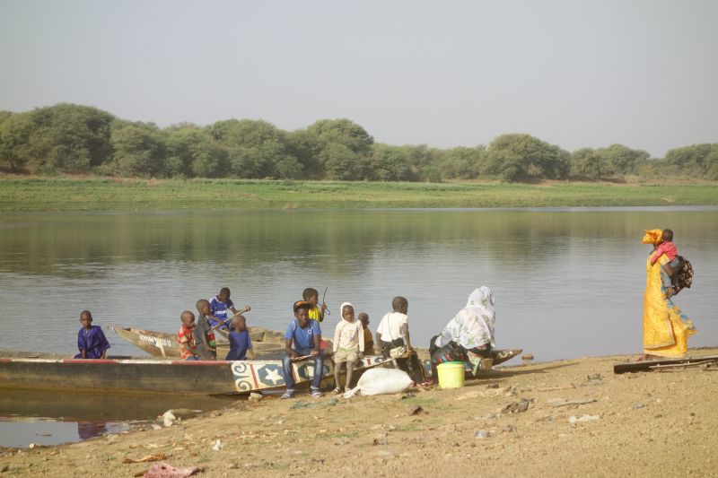
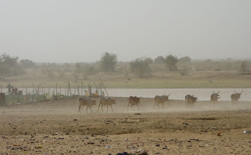
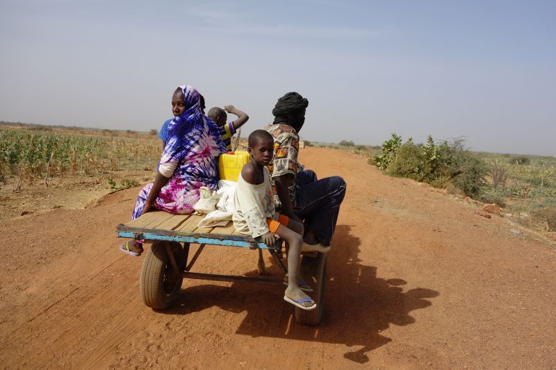
Today was the last day in Mauritania, we are at the border to Mali, which is the Senegal river here. There is water, lots of animals, baobab trees, and the people are black. We finally arrived in the “real” Africa.
Unfortunately the “real” Africa also means that the maps are poor and out of date, navigation is difficult. The best maps for today’s stage were the French and Russian maps from the 1940s and 1950s, but a lot has changed since then, whole villages have disappeared, and then big pistes were degraded to donkey tracks. We wanted to arrive in camp a bit earlier than last night and hence skipped the most difficult part of the stage.


